New Delhi: India’s Ministry of External Affairs (MEA) said the country’s support for a recent UN resolution on world maps should not be read as approval of any change in how India’s territories are depicted.
The UN General Assembly adopted the resolution on September 4, calling for the use of equal-area map projections to represent countries’ landmasses more accurately. The measure received 164 votes in favour, with the United States voting against.
Titled “Correction of the world map: promoting equal-area cartographic representation and, in particular, equal representation of Africa,” the resolution seeks to address distortions associated with the commonly used Mercator projection, which makes Africa appear smaller while enlarging regions such as North America and Greenland.
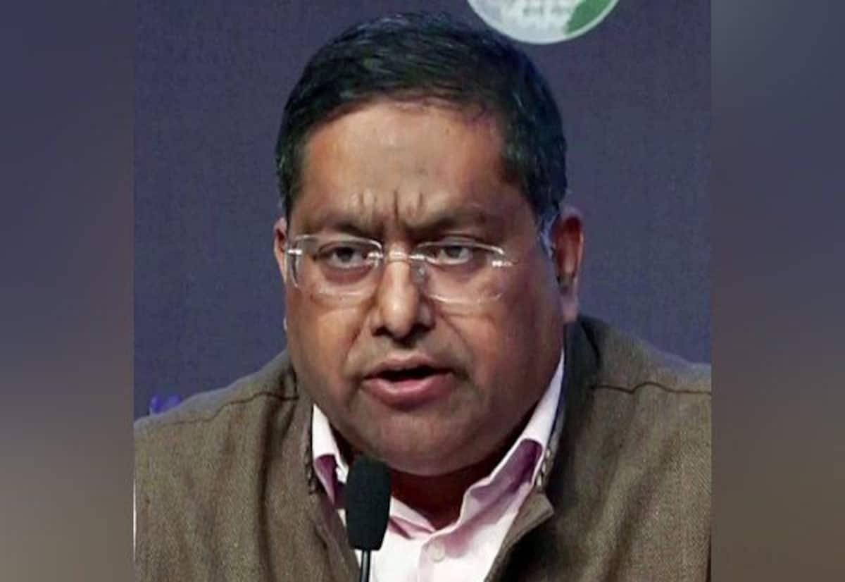
MEA spokesperson Randhir Jaiswal said India supported only the underlying principle of using equal-area projections. He added that India did not endorse any specific map, projection, or depiction of national boundaries.
He reiterated that Jammu & Kashmir and the Union Territory of Ladakh must be shown as part of India in line with official Indian maps, and that misleading or confusing representations are unacceptable. India’s position on sovereignty and territorial integrity, he said, remains clear and unchanged.