India’s indigenous navigation system NavIC has resumed full operations after the NVS-03 satellite successfully reached its intended orbit. The development marks another milestone for India in space technology.
India has been developing and using NavIC as its own regional navigation system, without depending on the American GPS. However, atomic clock failures and technical glitches in earlier-generation satellites had long delayed the delivery of accurate navigation services.
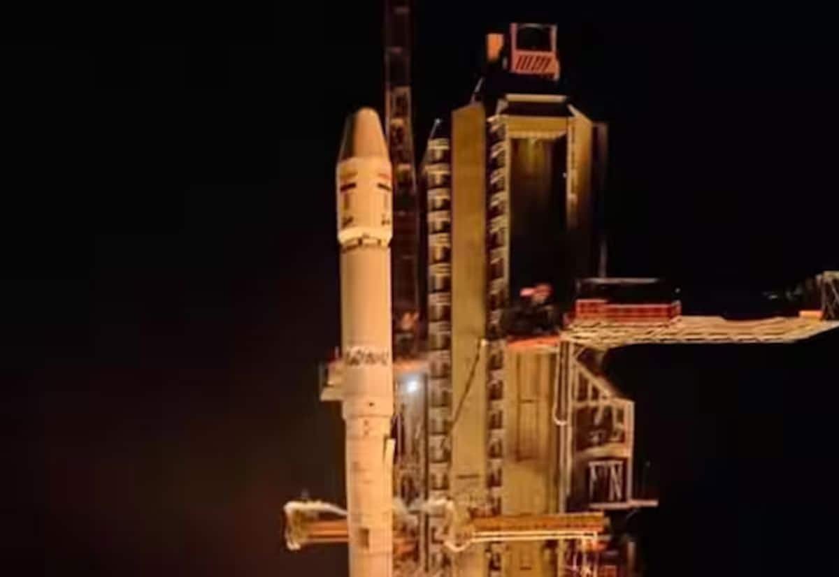
The advanced NVS-03 satellite, weighing around 2,232 kg, was launched aboard a GSLV-F18 rocket from the Satish Dhawan Space Centre in Sriharikota, Andhra Pradesh. After it was placed in a geosynchronous transfer orbit, ISRO scientists carried out a series of propulsion engine operations to move it to its designated geosynchronous orbit.
The satellite carries a rubidium atomic clock designed entirely in India, avoiding reliance on foreign clock technology. In addition to the usual L5 and S bands, a new L1 frequency band has been added, making it easier for ordinary smartphones and general navigation devices to use NavIC services.
The indigenous system is expected to benefit key sectors including military defence, aviation, maritime transport and disaster management. ISRO scientists expressed confidence that the upcoming NVS-04 and NVS-05 satellites will make India’s ‘desi GPS’ even more accurate and robust once launched.